
Published on Monday, September 21, 2026 | Updated on Tuesday, September 22, 2026
Global | Equal Earth Map SVG ISO alpha-2
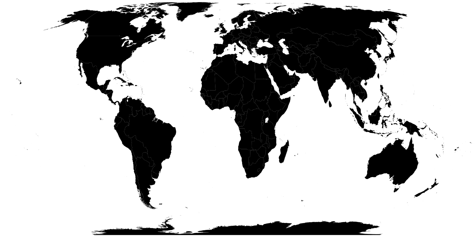
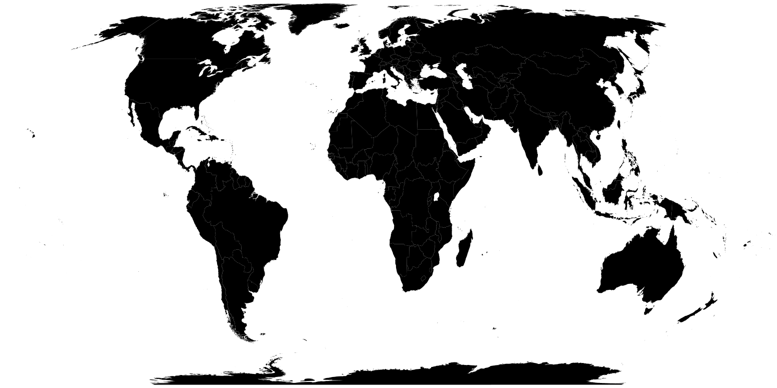
SVG Equal Earth vector map with ISO 3166-1 alpha-2 standards and CSS code for easy editing and customization. Last Friday, September 4, 2026, the UN General Assembly adopted a resolution to encourage the use of the Equal Earth map or equivalent projections.
Key points
- Key points:
- Last Friday, September 4, 2026, the UN General Assembly adopted a resolution to encourage the use of the Equal Earth map or equivalent projections, which more accurately represent the relative sizes of the continents.
- Several of the most popular maps enlarge the relative size of countries the closer they are to the poles. In the Mercator projection, Greenland often appears visually comparable in size to the entire continent of Africa, whereas the land area of this continent is approximately 14 times larger.
- The resolution seeks to correct cartographic representations that for centuries have visually minimized the relative size of certain regions, particularly Africa. Maps are fundamental instruments that influence the world perception and the collective imagination of peoples.
- A high-resolution Equal Earth Map SVG ISO alpha-2 was created as a visual aid tool to accompany presentations, notes, reports, briefings, yearbooks, books, magazines, blogs, websites, and other types of digital and print publications and content.
- The map uses the ISO 3166-1 alpha-2 standard and CSS code to facilitate its editing and customization. The files can be edited and colored manually, or the creation and customization of the maps can be automated.
Documents and files
Key results
WORLD BANK INCOME LEVEL CLASSIFICATION OF ECONOMIES
FISCAL YEAR 2027
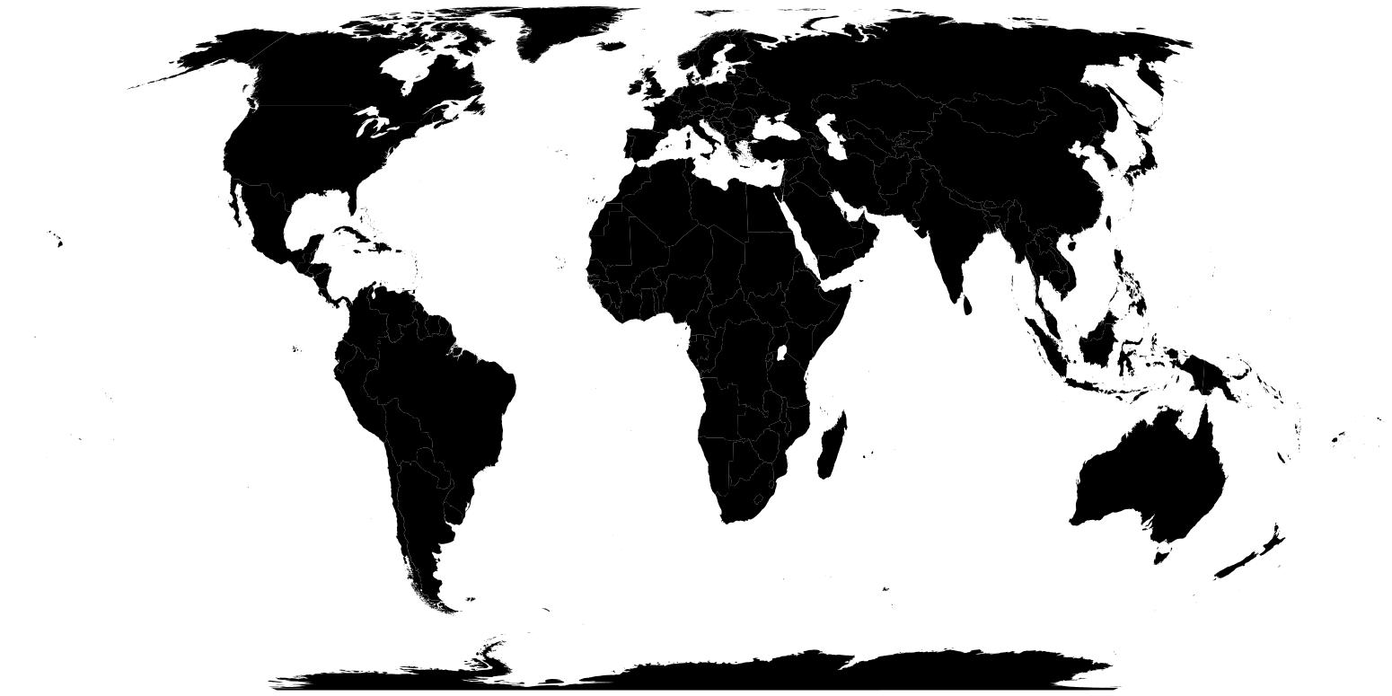
Source: BBVA Research based on data from the World Bank (2026).
Authors

Geographies
- Geography Tags
- Global
Topics
- Topic Tags
- Geostrategy
- Social Sustainability
- Digital Trends
Was this information useful?